The Bridlemile Watershed
Geography:
Bridlemile Watershed’s major waterway is Fanno Creek. It flows east-west along the neighborhood’s southern border. It runs roughly parallel to and just north of the Beaverton-Hillsdale Highway. Specifically, it goes from SW Dosch Road on the east to just short of Scholls Ferry Road on the west.
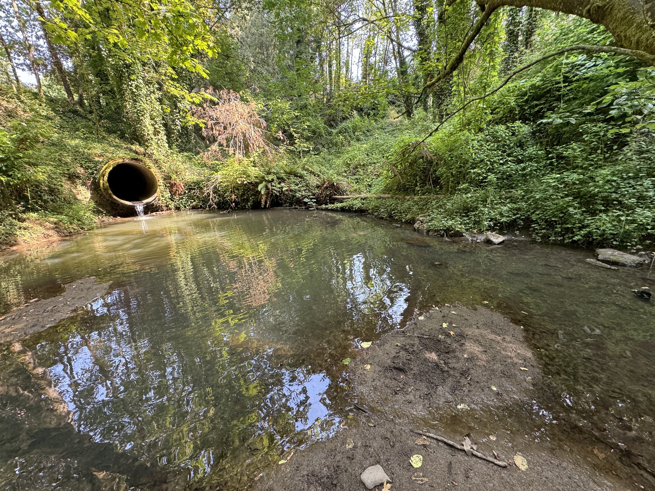
Above: Fanno Creek in the Fanno Creek Nature Area off SW 39th – as it flows out of the culvert under SW 39th. 2024-08-15.
Above: Fanno Creek where it goes under SW 45th Avenue. 2024-10-29.
Subsidiary Creeks
Fanno Creek gets water from four direct subsidiary creeks, which flow directly into it. From east to west, these are:
· Restoration Creek,
· Ivey Creek,
· a no-name creek, and
· Columbia Creek.
Above: Map showing where Columbia Creek and No Name Creek flow into Fanno Creek
Above: Map showing where Ivey Creek and Restoration Creek flow into Fanno Creek
Above left: Map of Columbia Creek.
Above middle: Map of north portion of No Name Creek.
Above right: Map of south portion of No Name Creek.
Above: left: Map of Ivey Creek - and Bridlemile Creek.
Above right: Map of Restoration Creek.
Map sources include:
Indirect Subsidiaries:
In addition, multiple indirect subsidiary creeks, such as Bridlemile Creek, run into the above four direct tributaries of Fanno Creek. Except for Bridlemile Creek, the indirect creeks do not have known names. Sometimes they sit dry for weeks for even months. Then, after a heavy rain, they might quickly swell up into a water torrent several feet across.
Beyond Bridlemile Watershed
The Bridlemile Watershed is a part of the larger Fanno Creek Watershed.
In turn, the Fanno Creek Watershed is part of the larger Tualatin River Watershed.
In turn, the Tualatin River Watershed is part of the larger Willamette River Watershed.
In turn, the Willamette River Watershed is part of the larger Columbia River Watershed.
The Columbia River flows into the Pacific Ocean.
For more information on these watersheds:
Fanno Creek Watershed:
https://www.portland.gov/bes/protecting-rivers-streams/portlands-watersheds/fanno-creek
https://en.wikipedia.org/wiki/Fanno_Creek
Tualatin Watershed:
https://tualatinswcd.org/our-story/our-watershed-tualatin-river-watershed/
https://en.wikipedia.org/wiki/Tualatin_River
Willamette River Watershed:
https://www.portland.gov/bes/protecting-rivers-streams/portlands-watersheds/willamette-river
https://en.wikipedia.org/wiki/Willamette_River
Columbia River Watershed:
https://en.wikipedia.org/wiki/Columbia_River_drainage_basin
Fanno Creek Health
For Portland’s self-reported report card on the health of Fanno Creek, click on the link shown below:
Discharge
The USGS maintains a monitoring station at 56th Avenue.
https://waterdata.usgs.gov/monitoring-location/14206900/#parameterCode=00065&period=P7D&showMedian=false
“At the Portland station, the average flow is 3.15 cubic feet per second (0.09 m3/s). This is from a drainage area of 2.37 square miles (6.1 km2) or about 7 percent of the total Fanno Creek watershed. The maximum flow recorded there was 733 cubic feet per second (21 m3/s) on February 8, 1996, and the minimum flow was 0.01 cubic feet per second (0.0003 m3/s) on September 4, 2001.”
https://en.wikipedia.org/wiki/Fanno_Creek


